Killeeneen Parish Church & Graveyard


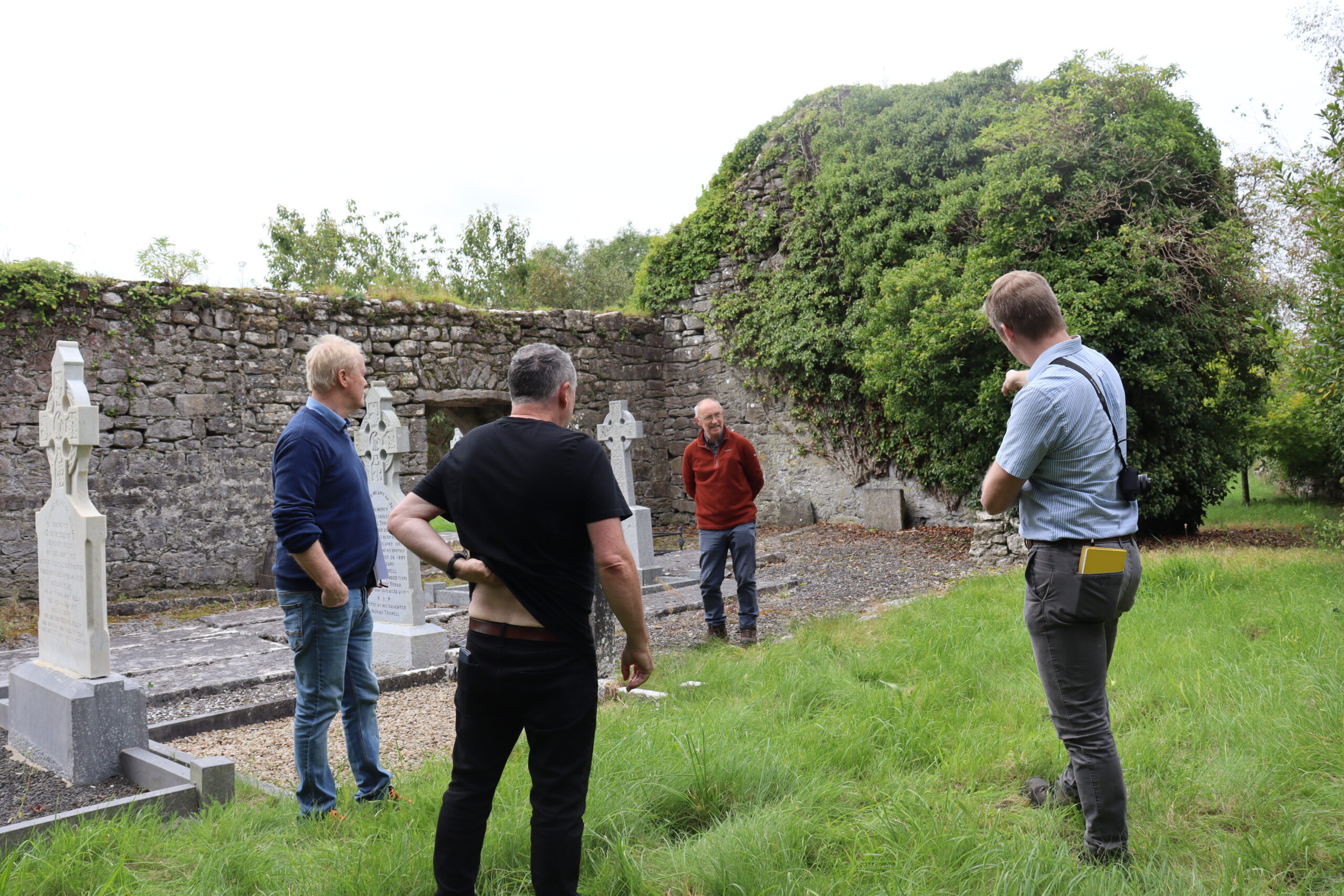
Reilig na bhFilí Graveyard Committee were successful in their application to fund a Conservation Management Plan through The Heritage Council Community Grant Scheme 2023. Killeeneen Church and Graveyard is a Recorded Monument GA096-121001- in ownership of Galway County Council. Permissions were received from The National Monuments Service, Department of Housing, Local Government & Heritage to trim the ivy to allow a detailed assessment of the church ruin. The Conservation and Management Plan is a multi-discipline document including input from a Conservation Architect, Archaeologist, Structural Engineer and Ecologist.
First Edition Ordnance Survey Map
The first detailed map of Killeeneen Church is the Ordnance Survey first edition six‐inch map which
dates to c. 1840. It depicts the site and is annotated ‘church‐in ruins’. The full ground plan
in depicted within a dense cluster of structures, approximately 70 in total showing a very impressive example of a pre‐famine village.
Phases of Construction
The remains of this parish church now comprise the western and southern wall. There is no trace of a font although a portion of one is recorded in the ground close to the door by the Archaeological Survey of Ireland. The door is located in the south wall. It consists of a fifteenth century pointed arched doorway which is a later insertion. The recess for a drawbar hole is visible in the interior which would have allowed the door to be locked from the inside.
Re-used Masonry
The southern wall has two obvious construction phases. The earlier phase, belonging to the original church construction in the 12th /13th century is visible to a height of approximately 1.4m. Above this is a later phase, with more uneven courses and re‐used 12th /13th century dressed stones. This more than likely dates to the 15th century when the door was also re‐modelled. The western wall also shows evidence of re-used masonry within the later phase of construction.
Rafteiri an bhfile
The burial site of Antoine O Rafteiri, the famous poet is located outside the gable end of the western wall. Lady Gregory is reputed to have rediscovered this great poet when his poems were discovered in a stone masons house at Killeeneen.
 Loading...
No Comments
Add a comment about this page